A LiDAR scan becomes the foundation of every project, allowing us to transform a real site into a precise digital model before exploring ideas and producing construction-ready drawings.
Every project begins with understanding what's already there.
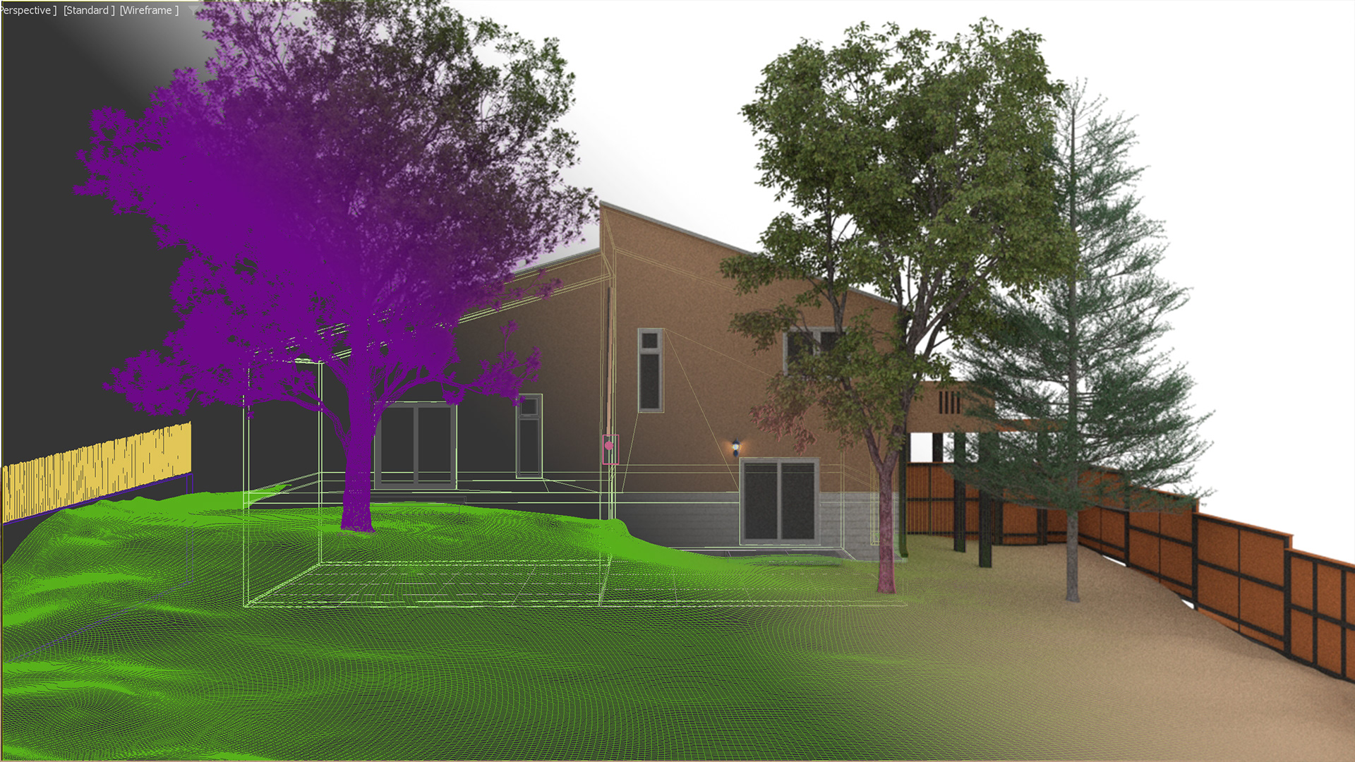
A tape measure works well for a room. But when you're documenting an entire property—with changing ground levels, mature trees, retaining walls and existing structures—you need something more precise.
Using LiDAR and photogrammetry, we scan the site and transform thousands of measurements into a detailed three-dimensional model. Applications like Polycam allow us to capture not only walls and buildings, but also the subtle contours of the landscape that influence drainage, accessibility, views and construction.
Once inside our 3D workflow, the property becomes a digital workspace. We can test ideas, compare alternatives, study sunlight throughout the year, calculate clearances, and experiment with layouts long before construction begins.
Working this way reduces surprises on site, helps contractors build with confidence, and allows homeowners to experience the project before a single stone is moved.
The goal isn't to make technology the hero. It's to make better decisions—faster, more accurately, and with far greater confidence.